
“STRATEGIC YUCATÁN FRONTIER: 60 Hectares Highway-Frontage, Private Cenote — Unrivaled Development Opportunity”
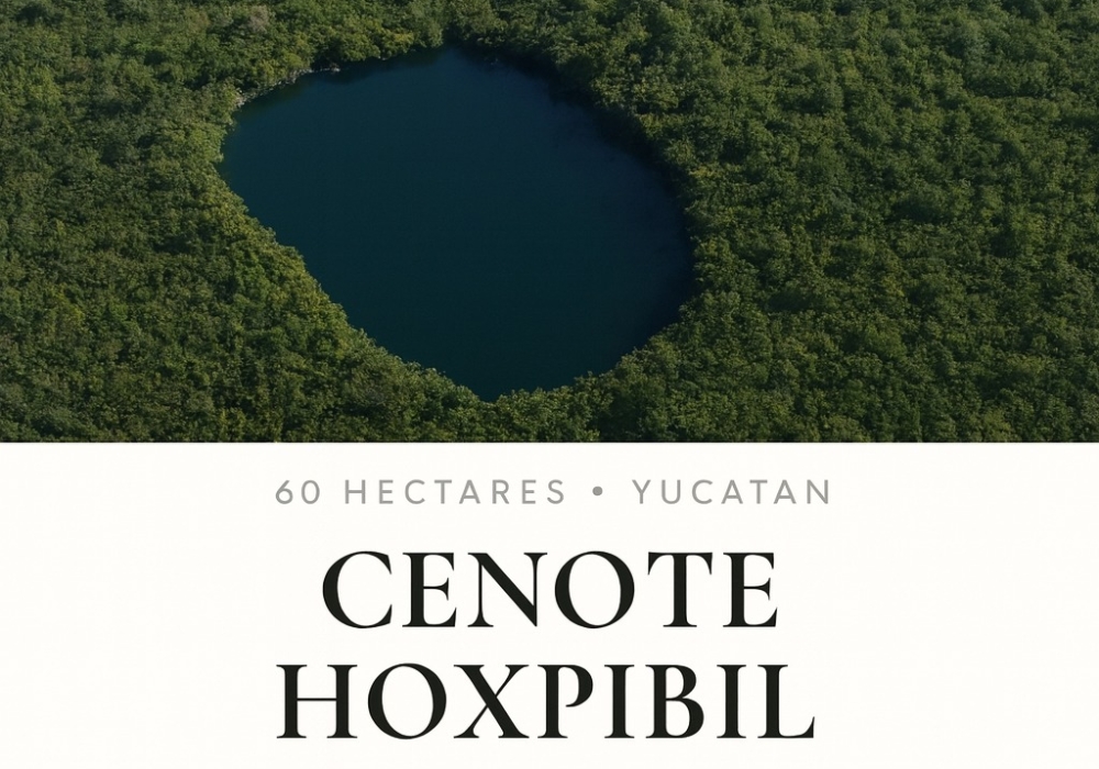
El Cenote — 60 Hectares | Hoxpibil | Chemax, Yucatán
Prime Highway-Front Investment Opportunity
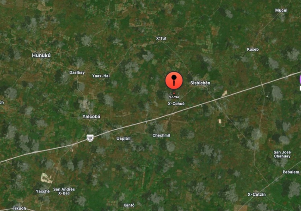
Location: Chemax, Yucatán, México
Area: 60 Hectares (≈ 148.26 acres)
Highway Frontage: Yes — High-traffic corridor exposure
Coordinates: 20.808775, -87.944399
Price: MXN $38,000,000
≈ USD $2,054,054 (approx. conversion at 18.5 MXN = 1 USD)
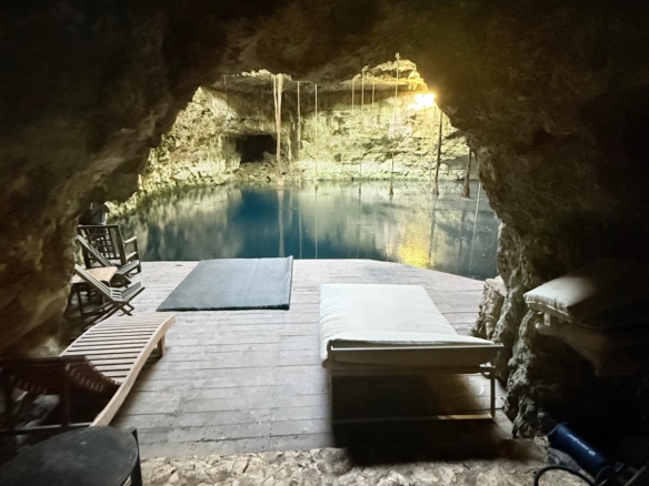
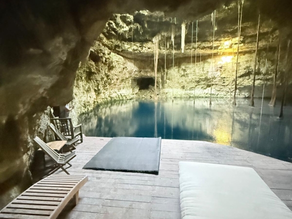
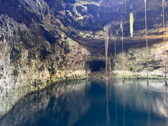
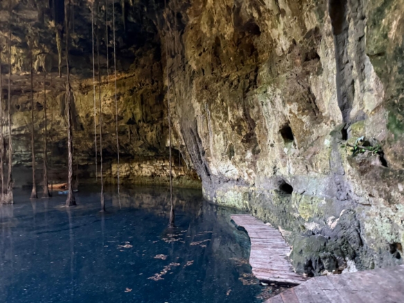
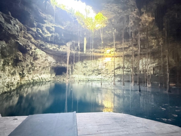
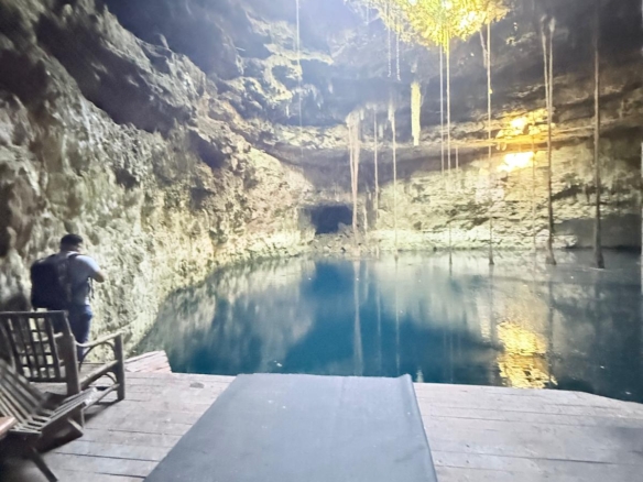
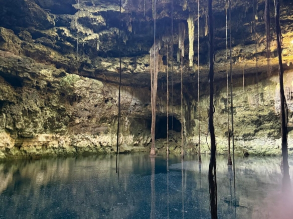
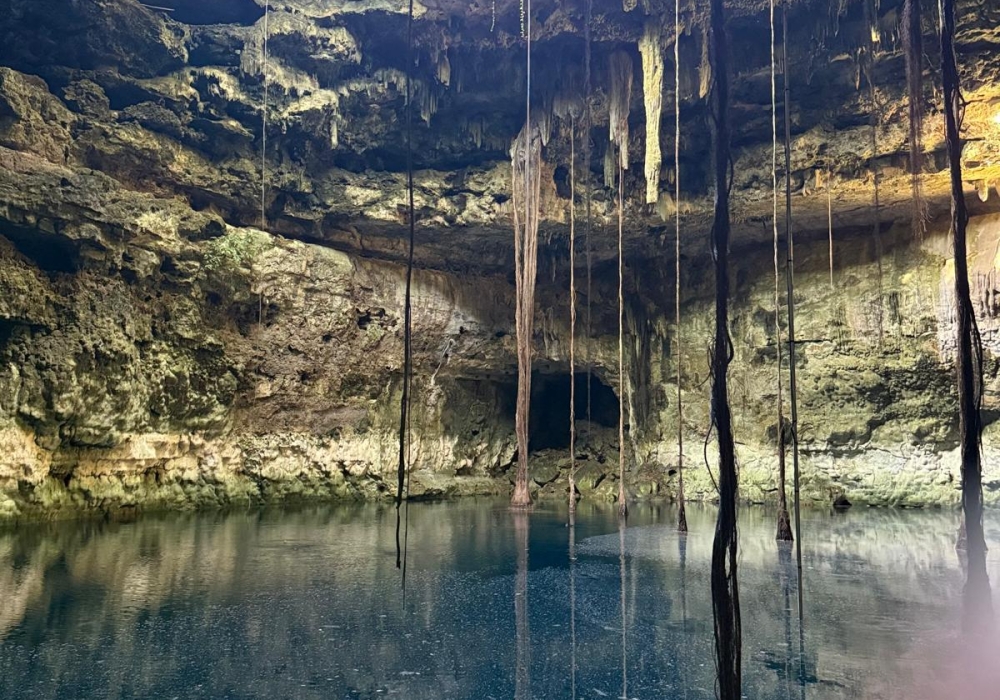
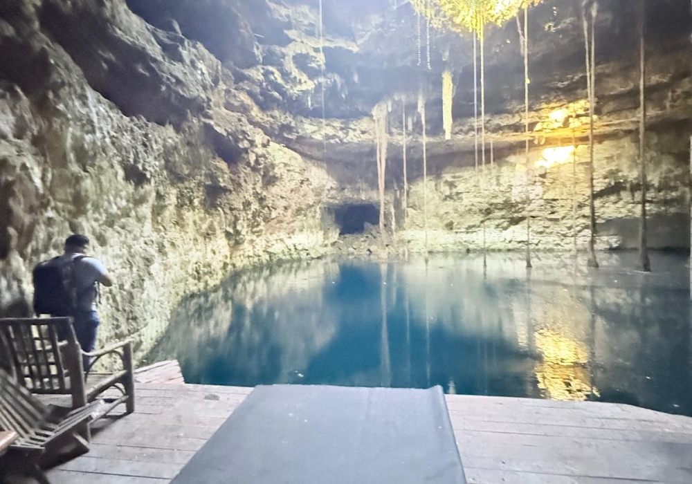
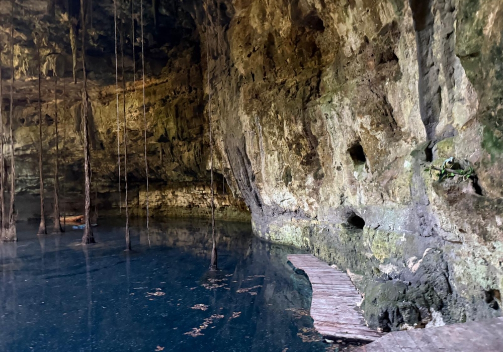
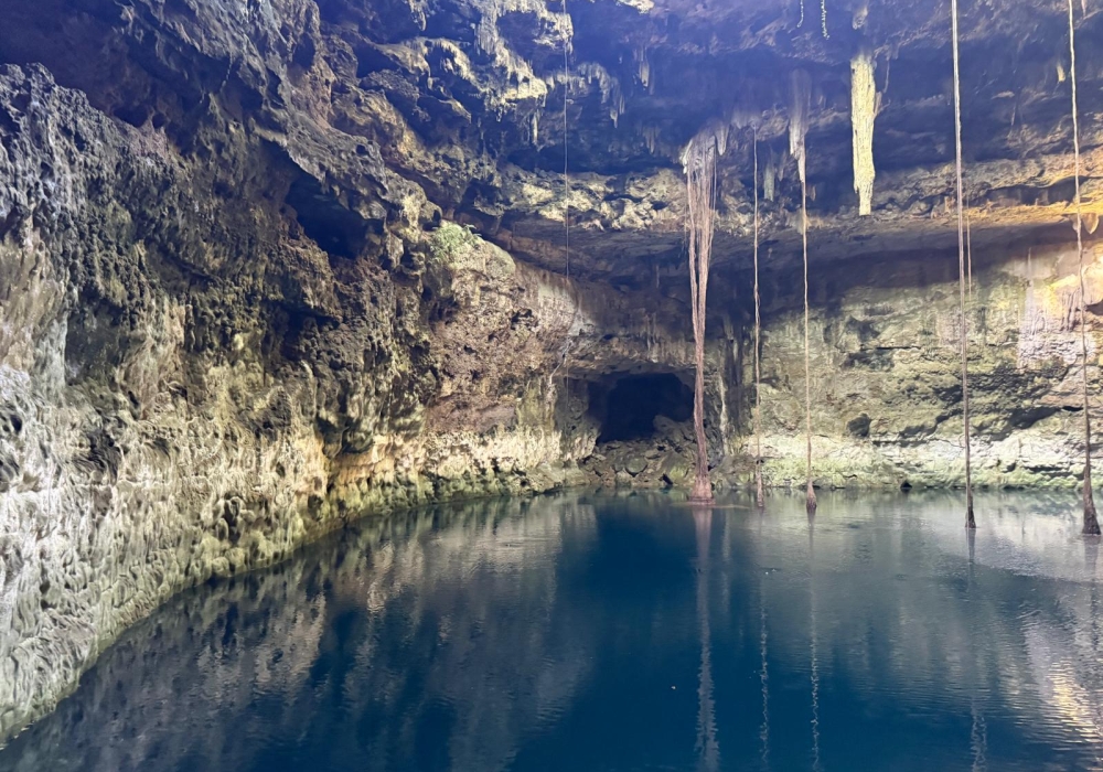
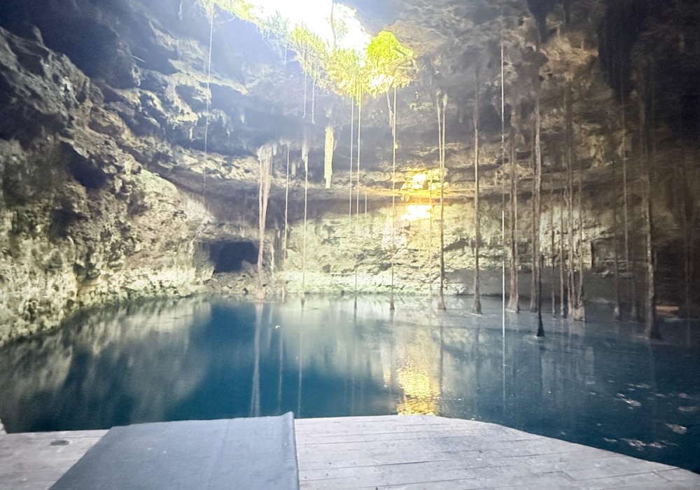
Sixty hectares with highway frontage in Chemax featuring a dramatic cenote and vaulted water mirror — prime for eco-tourism, boutique hospitality or exclusive residential development. Highway access and proximity to Valladolid and the Riviera Maya; Tren Maya reference ~26 km.
Key highlights
- Area: 60 hectares / 600,000 m².
- Asking price: MXN 38,000,000 — Approx. USD 2,054,054.
- Coordinates: 20.808775, -87.944399
- Access: Highway frontage; road links to Valladolid and Mérida.
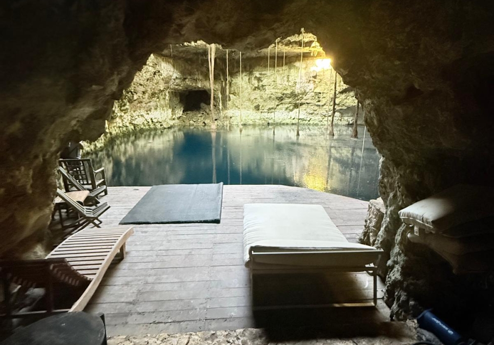
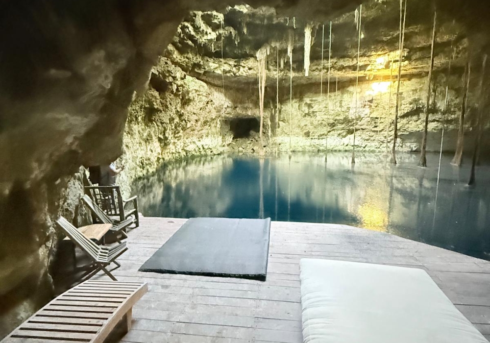
- Natural assets: Cenote and vaulted water mirror suitable for curated snorkeling and diving experiences.
- Title status: Public registry certificate on file Folio 835641; electronic folio 138652. No liens or restrictions reported.
- Primary use cases: Eco resort, boutique hotel cluster, residential subdivision, conservation tourism.
Immediate investor actions
- Sign NDA to receive the full legal dossier and cadastral plans.
- Schedule a guided site visit.
- Request a tailored financial model for the preferred development scenario.

Technical facts
• Area: 60 hectares (600,000 m² / ~148.26 acres)
• Asking price: MXN 38,000,000 — Approx. USD 2,054,054
• Price per m²: MXN 60.00 — Approx. USD 3.24
• Approx. price per acre: MXN 242,723 — Approx. USD 13,120.16
• Coordinates: 20.808775, -87.944399
• Cadastral & registry: Folio 835641; electronic folio 138652; Tablaje No. 737; Locality Sisbichen, Municipality Chemax
• Adjacencies: Itzincab; Zodzdichen; X Culche; Actunkoh; Dzibichen
• Title status: Certificate of freedom from liens issued July 3, 2025 — no liens or restrictions reported
Distances Table and Location Notes
Locality | Straight Line Distance km | Road Distance Approx km | Estimated Drive Time |
Valladolid center and Tren Maya reference | 26 km | 28–32 km | 30–40 min |
Mérida center | 175 km | 200–220 km | 2.5–3.0 h |
Progreso malecon | 186 km | 210–240 km | 2.5–3.5 h |
Chichén Itzá | 67 km | 75–90 km | 1.0–1.25 h |
Cancún center and airport | 121 km | 140–170 km | 1.5–2.0 h |
Tulum center | 83 km | 110–140 km | 1.5–2.0 h |
Xel Há | 82 km | 100–130 km | 1.5–2.0 h |
Akumal | 80 km | 100–130 km | 1.5–2.0 h |
Río Lagartos | 90 km | 110–140 km | 1.5–2.0 h |
Chicxulub Puerto | 180 km | 200–230 km | 2.5–3.5 h |
Valladolid station reference | 26 km | 28–32 km | 30–40 min |
Cuéntenos sobre su propiedad o sus deseos
Agenda una llamada hoy con uno de nuestros asesores y descarga un folleto de cualquier propiedad llenando el formulario.